
Looking Up Brighton Neighbors by Block
A block lookup works when each source keeps its own role. GIS supplies the geographic frame. The Assessor supplies parcel-account fields. The recorder supplies selected transaction parties. Voter data has a public field split and protected-address rules. City and county permits show activity. Metro districts show civic geography. Historical directories and census pages can describe an earlier block at a particular time. No row in the table is a complete household directory.
| Source | What It Shows About a Block | Access |
|---|---|---|
| Adams GIS parcel map | Adjacent parcels, lots, streets, subdivision, and map layers | Basic Web Map and REST layer |
| Adams Assessor | Owner, mailing, situs, value, and account fields | PropertySearch, GIS, data files |
| Adams Recorder | Selected owners and recorded transactions | Landmark name and legal-description search |
| Voter file | Public registration, address, precinct, party, and history fields | SOS lookup or lawful list request |
| City and county permits | Work, code, land-use, valuation, and address activity | Brighton Reports and Eye on Adams |
| Metro districts | Service-plan boundaries, boards, elections, and district geography | Brighton public district pages |
| Directories and census | Historical occupants and households by year | Library, archive, FamilySearch, NARA |
Owners, registered voters, permit applicants, directory occupants, and household members are different categories. Keeping those words separate is the first privacy control in a Brighton neighbors search.
Click the Target, Then Adjacent Parcels
The Adams Basic Web Map and official parcel REST layer provide the core block method. Search or zoom to the target address, click the target polygon, and then click the visually adjacent polygons. The REST metadata marks the layer searchable, identifiable, queryable, copyable, and snappable. Useful fields include `PARCELNB`, `SUBNAME`, `CONCATADDR1`, `CONCATADDR2`, `OWNERNAME`, `OWNERNAME1`, `OWNERNAME2`, `OWNERADDRESS`, and `OWNERCSZ`.
Save the target and adjacent parcel numbers, subdivision, city or county, situs labels, owner fields, and map date. Then confirm each selected parcel in the assessor route. The static research did not expose a dedicated buffer tool, so visual adjacency is the documented method. A live map may have other controls, but their names and behavior should be verified rather than assumed.
- Confirm the target address and whether the parcel is in Adams County or the Weld edge of Brighton.
- Click the target parcel and record its parcel number, subdivision, situs, and owner fields.
- Click the surrounding polygons, keeping adjacent parcel numbers in a separate block table.
- Check the assessor record for each selected parcel, preserving situs and mailing columns.
- Use permits, districts, voter rules, or selected deeds only when they answer a defined follow-up question.
This process creates a map-supported group of nearby parcels without pretending that adjacency identifies every person nearby.
What the Brighton GIS Map Can Prove
The Adams County GIS Interactive Maps route is good at geometry, subdivision, address labels, and selected owner convenience fields. It can show that two parcel polygons touch or that a block lies near a city, ward, district, or county boundary. It is not an official survey. The county expressly describes assessor parcel information as assessment or public-data material, so a map line cannot settle a title dispute or define a private relationship.
The Brighton GIS page links both Adams and Weld property searches. That matters at the northern city edge, where a Brighton mailing or city-limit label may route to a different county custodian. Check county before copying a parcel owner into a neighbors table.
The county's parcel viewer screenshot shows the practical bridge from a map click to owner, address, and subdivision fields.
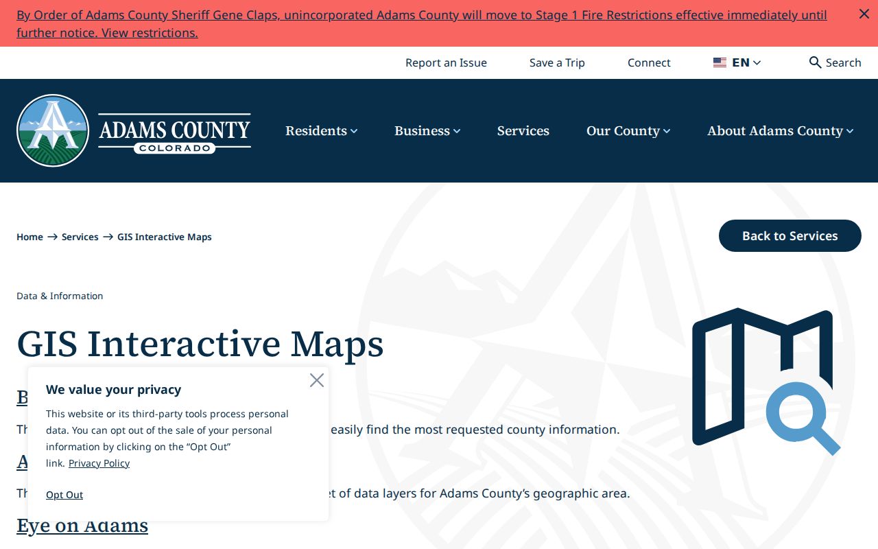
Use the linked county map for live geometry and the metadata for field names. A screenshot is evidence of the access route, not a current roster.
Adams and Weld at the Block Edge
Brighton city limits extend into Weld County in northern areas. City GIS links both property systems, and city permit reports carry Brighton labels across multiple ZIPs. A block can therefore sit near a jurisdiction boundary even when the postal city remains Brighton. Keep city, county, ZIP, parcel, and situs fields in the block worksheet.
This is more than a routing detail. The recorder, assessor, permit map, voter custodian, and historical source may each describe the same place through a different boundary. If an adjacent parcel crosses the county line, do not assume the Adams map or deed index will show the full record. Route the parcel to the custodian for its actual county.
Metro Districts as Brighton Civic Geography
Brighton's Metropolitan Districts page lists 40 metro districts arranged in 10 groupings, including Adams Crossing, Brighton Crossing, Brighton Ridge, Bromley Park, Case Farms, Platte River Ranch, Prairie Center, Ridgeline Vista, Brighton Lakes, Farmlore, Indigo Trails phases 3-6, and Village at Southgate. The page reports 4,569.68 of 13,833.26 city acres, or 33.03 percent, in metro districts. Service plans can provide maps, boundaries, population or valuation context, and a route to public board and election records.
A metro district is a quasi-municipal public entity, not a private member roll. District geography can explain why two nearby parcels share a public service plan or board record. It cannot identify a household or prove that a person belongs to an association.
The Brighton metropolitan-district page provides the official map and service-plan context shown below.
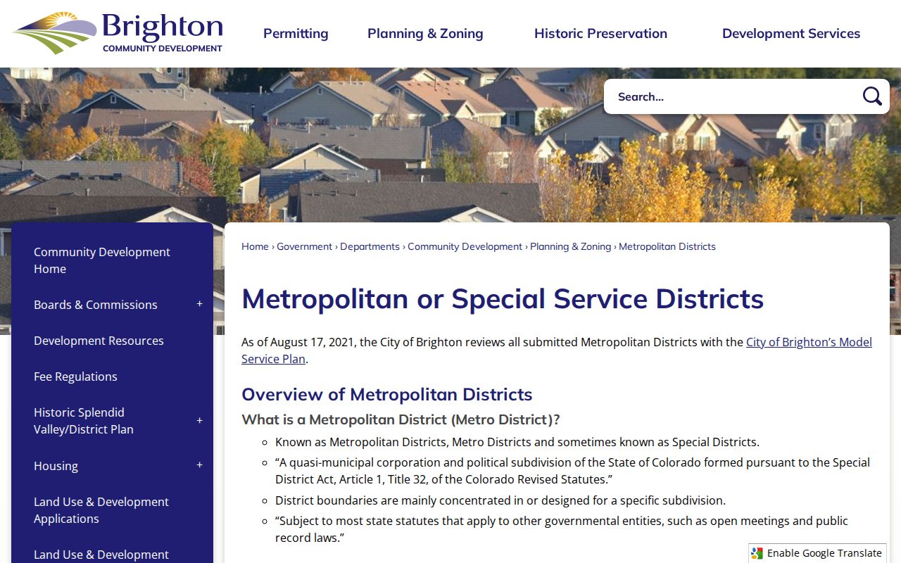
Use the live district page to verify a boundary and current public meeting or election information before adding it to a block history.
Brighton Neighborhood Groups and Contacts
The county neighborhood-group development page is an umbrella resource, not a complete Brighton member directory. It lists groups such as Eastlake Lifestyle Community, HTC Players and Todd Creek, Pomponio Terrace MD, Sherrelwood, Wadley Farms I and II, and Welby Neighbors. No Brighton-specific comprehensive roster was located. Use a public group name or contact route to ask about meetings or historical material, not to collect private member addresses.
| Brighton metro districts | Public service-plan, boundary, board, and election records; the city page lists district groupings. |
|---|---|
| Adams County neighborhood groups | County-supported development resource; listed groups are not a Brighton-wide roster. |
| Congregations and block watches | No official public Brighton directory was located; ask organizations directly about public programs. |
| Private associations | Membership information was not located and should not be inferred from a parcel map. |
The Adams County neighborhood-group resource is shown below with its limits. It does not turn a countywide list into a Brighton household source.
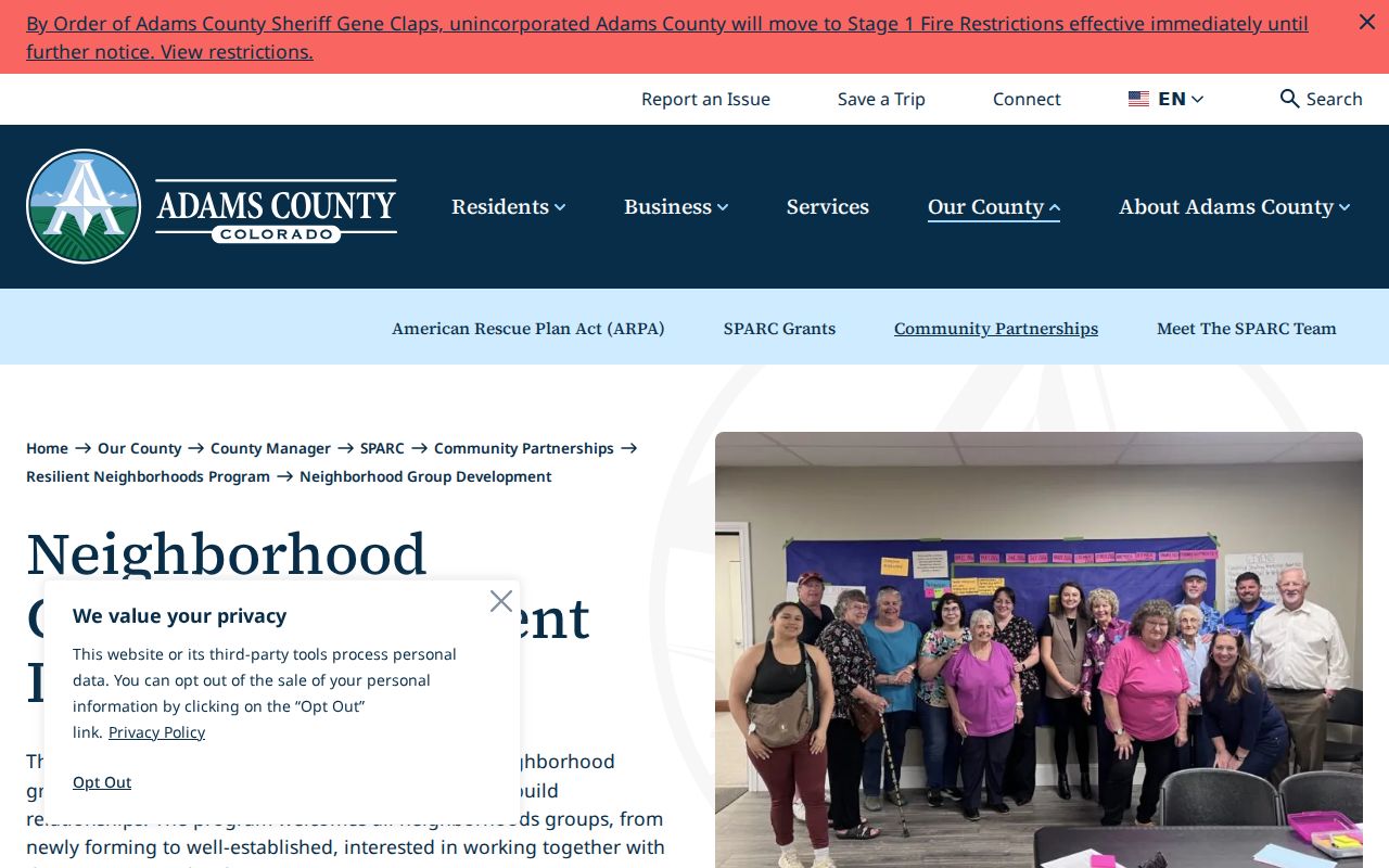
Contact a group through its public channel when a civic question warrants it, and ask before sharing names, member lists, or private contact details.
Block-Level Voter Visibility
Colorado's voter lookup requires first name, last name, ZIP, and full birthday for an individual search. A street or block study cannot be scaled by guessing birthdays. Adams Elections offers Registration Master List and Voting History List products, and the Secretary of State offers statewide request products. Public fields can include name, residential address, party and date, phone if provided, gender if provided, birth year, and whether the person voted in prior elections.
Protected voter and Address Confidentiality Program addresses are omitted or restricted. SSN, driver-license number, full birth date, signature, email, and ballot choice are not ordinary public fields. HB25-1195 adds a no-fee restricted treatment for qualifying first responders and spouses. A block lookup should describe the rule and source date, not publish a guessed list of people.
Permits and District Alerts Near You
Brighton Reports supplies address-keyed permit, valuation, certificate, subdivision, solar, and license reports. Eye on Adams may add building permits, code violations, land-use cases, map filters, and neighborhood or special-district email alerts for unincorporated coverage. These records show public activity around a parcel. The applicant, contractor, assessed owner, and occupant can be different people.
Use a permit date to explain a change in the built environment or to select a newspaper and deed window. Use a district record to understand service geography. Neither is a neighbor directory. Keep the source's purpose beside any name or address field.
Historical Brighton Neighbors by Street Guide
Historical neighbors appear in the street-guide portion of a directory, not in a current parcel layer. The FamilySearch catalog identifies Brighton-inclusive XL New Denver Suburban Directory editions for 1957 and 1961, while the full local year run remains unknown. Start with house-number order, cross streets, and old street spelling. Then compare the alphabetical entry and the 1950 Census, using household relationship, age, birthplace, and address to separate same-name people.
Brighton Blade notices can add a death, marriage, civic, or move clue. A directory neighbor may be a business, a prior occupant, or a person whose entry was compiled months before publication. Verify a meaningful transition with the recorder, census, probate, or eligible vital-record custodian. The modern whole-street chain belongs in the Brighton street directory workflow.
Official Rolls Versus Neighbor Tools
Private neighbor-search tools may combine public filings, marketing data, prior addresses, and probabilistic identity matches. They can be stale, merge same-name people, or expose a protected address. An official source can also be incomplete, but its custodian, field purpose, date, and correction path are visible. Compare the two categories by the question they can actually answer.
| Source Category | Strength | Limit |
|---|---|---|
| GIS and parcel map | Adjacent geography and parcel keys | Not a survey or household roster |
| Assessor and recorder | Owner/account and recorded transaction roles | Owner is not every occupant; party index is not tract index |
| Voter records | Public registration fields when matched and not protected | Not all residents register; protected data is omitted |
| Private compilation | May join several public and commercial sources | Source date, accuracy, identity match, and removal path vary |
Brighton Neighbor Records and Privacy Limits
Renters, household members, utility customers, delivery records, and unregistered occupants are not ordinary parcel fields. DMV information is controlled by the DPPA. Vital and adoption records are confidential. Juvenile, sealed, and expunged court records can be restricted. The Colorado Address Confidentiality Program gives eligible survivors a substitute address, and protected voter records can disappear from an ordinary result. A missing match may therefore reflect a safety program or eligibility rule.
Use the block method for civic geography, family history, reconnecting, personal safety awareness, and understanding public services. Do not infer relationships from adjacent parcels, do not try to reconstruct a protected address, and do not use a neighbor lookup to follow, threaten, repeatedly contact, or intimidate someone.
Lawful use. Brighton neighbors records support personal, lawful research about parcels and public community geography. Respect protected residents and private household boundaries; public information is never permission to stalk, harass, or harm a person.